
Picture this: You’re leaving the Huntington Convention Center, eager to get to the lakefront as quickly as possible.
Well, good luck with that.
“You can see Lake Erie, but it’s a 45-minute walk to get down there,” said Scott Skinner, executive director of the North Coast Waterfront Development Corporation (NCWDC). “You have to cross over a highway, and it feels like playing Frogger.”
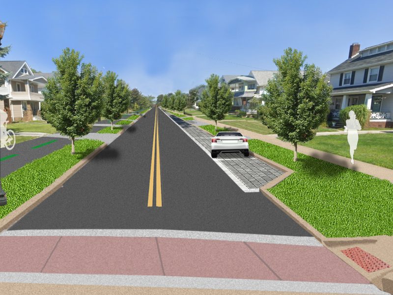
A proposed North Coast Connector Land Bridge would create a smoother path for pedestrians and cyclists by linking the downtown Mall to Huntington Bank Field and North Coast Harbor. In early January, the City of Cleveland secured a $69.3 million federal grant for the bridge, a key component of the city’s ongoing efforts to redevelop its lakefront.
Ideally, funding from the Department of Transportation’s Reconnecting Communities Pilot grant program will literally bridge the gap between downtown Cleveland and the lake, officials said. Large-scale changes include razing the Main Avenue bridge and turning Ohio 2 into a boulevard stretching to East 18th Street.
The pedestrian bridge near the Mall, spanning railroad tracks and a reconfigured Shoreway, would be complimented by a refurbished West Third Street bridge. A new multi-modal transit center at the current site of the RTA and Amtrak stations is another vital facet of the project.
The city’s commitment to the land bridge and other project elements will go ahead, regardless of the Cleveland Browns’ future lakefront presence, noted Skinner, whose not-for-profit launched in Oct. 2023 to assist officials in their development plans.
“The land bridge has been a component of the plan since the start, with or without the stadium,” Skinner said. “This is a 100-foot-wide bridge that will feel like a long park taking you to the waterfront, with bike lanes, crosswalks and sidewalks.”
According to Cleveland decision-makers, the completed project is expected to cost $447 million – an initial phase slated for 2027 is tabbed at about $100 million, and will include demolition of the stretch of Shoreway along the Main Avenue bridge. Demolition of the current West Third Street bridge – along with construction of a wider and more accessible West Third Street bridge – is also part of this phase.
This spring, 25 acres of city-owned lakefront land within the project area will be transformed into a temporary recreational space featuring basketball courts, Quonset huts and other amenities, said Skinner.
Along with the recent federal grant, project planners received $59.7 million in U.S. Department of Transportation funding in October for all phases of the plan. Another $20 million is earmarked in the state budget, while officials are pursuing additional federal funding targeted for transit and transit-oriented projects – namely the Transportation Infrastructure Finance and Innovation Act (TIFIA) program run by the Department of Transportation.
“This funding will allow us to reimagine our waterfront access, transform outdated infrastructure, and build a safer, more vibrant connection between our residents, the lakefront and the Port of Cleveland,” Bibb said in a news release. “This is a crucial step forward in making Cleveland a more connected and accessible city.”
Skinner said a finished land bridge will have similar functionality to The High Line, a nearly 1.5-mile-long elevated park and greenway built on a former railroad spur on Manhattan’s west side.
“The High Line is not a bridge, but a public space to move through parts of the city, or to pass over the rail line,” said Skinner. “(That project) was an example for us, in terms of capping the highway for quicker access to the water and unlocking economic development.”
Keep our local journalism accessible to all
Reader support is crucial as we continue to shed light on underreported neighborhoods in Cleveland. Will you become a monthly member to help us continue to produce news by, for, and with the community?
P.S. Did you like this story? Take our reader survey!